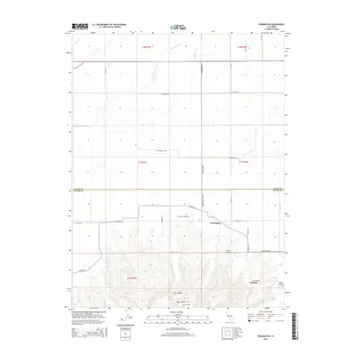
2015 Map of Pennington
USGS Topo · Published 2015About this map
Sutter Buttes rise dramatically from the floor of the Sacramento Valley, anchoring the southern portion of this landscape. This area, where the volcanic peaks meet the flatlands of the Central Valley, shows a distinct transition from the steep, complex contours of the buttes to the orderly agricultural grid of northern Sutter County. The small community of Pennington is situated at the base of these heights, serving as a focal point for the surrounding rural roads and orchards.
Find a feature on this map
36 named features on this map. Tap any name to fly to it.
Don’t see what you’re looking for? This feature index may not catch every label — zoom into the map to look around manually.
Map Details
Editions of this 2015 Pennington Map
This is the sole edition of this map. No revisions or reprints were ever made.
Other maps of this area

1888 · Marysville
USGS Topo · 1:125,000

1891 · Marysville
USGS Topo · 1:125,000

1894 · Marysville
USGS Topo · 1:125,000

1895 · Marysville
USGS Topo · 1:125,000

1911 · Sutter
USGS Topo · 1:31,680

1911 · Sanborn Slough
USGS Topo · 1:31,680

1911 · Landlow
USGS Topo · 1:31,680

1912 · Marysville Buttes
USGS Topo · 1:31,680

1912 · Butte City
USGS Topo · 1:31,680

1912 · Pennington
USGS Topo · 1:31,680