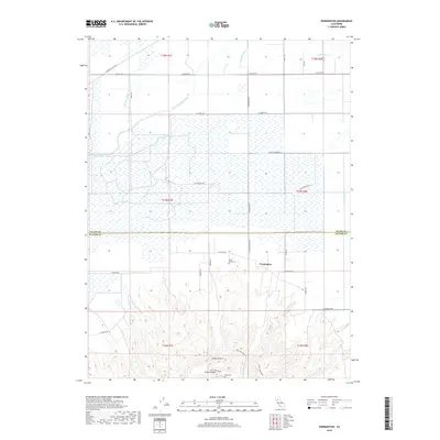
2018 Map of Pennington
USGS Topo · Published 2018About this map
Sutter Buttes rise dramatically above the Sacramento Valley floor, dominating the southern portion of this landscape. Near the foot of these peaks lies the small community of Pennington, surrounded by an intricate network of irrigation and drainage infrastructure. This hydraulic engineering is evidenced by the Main Drainage Canal, Green Lateral, and Belding Lateral, which support the region's intensive agriculture. Local history is anchored by the North Butte Cem and Pugh Cem, while the rugged heights of the Buttes enclose the secluded Peace Valley. The transition from the flat, canal-fed farmland in the north to the uplifted terrain of the Buttes is marked by local roads like Almond Orchard Rd and N Butte Rd, while the CNPS Hike Route provides access into the unique botanical and geological interior of the mountain range.
Find a feature on this map
36 named features on this map. Tap any name to fly to it.
Don’t see what you’re looking for? This feature index may not catch every label — zoom into the map to look around manually.
Map Details
Editions of this 2018 Pennington Map
This is the sole edition of this map. No revisions or reprints were ever made.
Other maps of this area

1888 · Marysville
USGS Topo · 1:125,000

1891 · Marysville
USGS Topo · 1:125,000

1894 · Marysville
USGS Topo · 1:125,000

1895 · Marysville
USGS Topo · 1:125,000

1911 · Sutter
USGS Topo · 1:31,680

1911 · Sanborn Slough
USGS Topo · 1:31,680

1911 · Landlow
USGS Topo · 1:31,680

1912 · Marysville Buttes
USGS Topo · 1:31,680

1912 · Butte City
USGS Topo · 1:31,680

1912 · Pennington
USGS Topo · 1:31,680