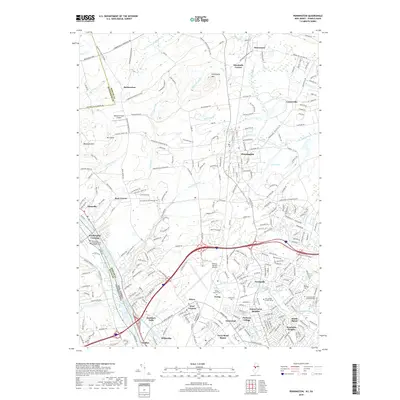
2019 Map of Pennington
USGS Topo · Published 2019About this map
The Delaware River forms a prominent western boundary for this central New Jersey landscape, shadowed by the historic Delaware and Raritan Canal as it passes Scudders Falls. The terrain transitions from the heights of Baldpate Mtn and Pennington Mtn in the north toward the expanding suburban reaches of Ewing and Pennington further south. This 2019 survey documents a complex intersection of historic sites and modern infrastructure, featuring the Trenton Mercer Airport and the sprawling campus of The College of New Jersey. Notable for genealogists are several well-established burial grounds, including the Washington Crossing United Methodist Cem and Saint Hedwigs Cem. Small, long-standing settlements like Harbourton, Marshalls Corner, and Bear Tavern maintain their identity amidst a dense network of country roads such as Brunswick Pike and the Marshall Corner Woodsville Rd.
Find a feature on this map
283 named features on this map. Tap any name to fly to it.
Don’t see what you’re looking for? This feature index may not catch every label — zoom into the map to look around manually.
Map Details
Editions of this 2019 Pennington Map
This is the sole edition of this map. No revisions or reprints were ever made.
Other maps of this area

1888 · Bordentown
USGS Topo · 1:62,500

1888 · Princeton
USGS Topo · 1:62,500

1890 · Lambertville
USGS Topo · 1:62,500

1890 · Burlington
USGS Topo · 1:62,500

1891 · Lambertville
USGS Topo · 1:62,500

1893 · Bordentown
USGS Topo · 1:62,500

1893 · Burlington
USGS Topo · 1:62,500

1894 · Princeton
USGS Topo · 1:62,500

1894 · Lambertville
USGS Topo · 1:62,500

1904 · Burlington
USGS Topo · 1:62,500
Featured Places
- Ewing Township, NJ
- Lawrence Township, NJ
- Lower Makefield Township, PA
- Hopewell Township, NJ
- Upper Makefield Township, PA