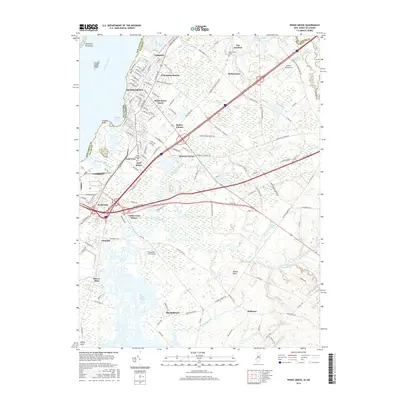
2016 Map of Penns Grove
USGS Topo · Published 2016About this map
The Delaware River coastline and the industrial landscape of Salem County define this area, where the Penns Grove Branch (Conrail) cuts through established riverside settlements. Dense residential corridors in Penns Grove and Carneys Point give way to the sprawling marshlands of Haines Neck and Pine Island Meadow further south. The map documents a complex infrastructure of transportation and education, featuring the Salem Community Coll campus and local aviation hubs like the Spitfire Aerodrome.
Find a feature on this map
134 named features on this map. Tap any name to fly to it.
Don’t see what you’re looking for? This feature index may not catch every label — zoom into the map to look around manually.
Map Details
Editions of this 2016 Penns Grove Map
This is the sole edition of this map. No revisions or reprints were ever made.
Other maps of this area

1890 · Salem
USGS Topo · 1:62,500

1894 · Chester
USGS Topo · 1:62,500

1896 · Chester
USGS Topo · 1:62,500

1898 · Salem
USGS Topo · 1:62,500

1898 · Chester
USGS Topo · 1:62,500

1901 · Camden
USGS Topo · 1:125,000

1901 · West Chester
USGS Topo · 1:62,500

1904 · West Chester
USGS Topo · 1:62,500

1904 · Wilmington
USGS Topo · 1:62,500

1906 · Wilmington
USGS Topo · 1:62,500