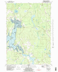
1981 Map of Penobscot
USGS Topo · Published 1990About this map
Northern Bay and the winding Bagaduce River dominate this coastal landscape, where the tidal influence reaches deep into the Maine interior. The map documents a cluster of maritime and agricultural settlements including Penobscot, South Penobscot, and North Blue Hill, connected by a network of rural roads such as Tamworth Farm Road and Varnum Road. The distribution of family-named cemeteries like Leach Cem and Hutchins Cem reflects a long-settled community with deep genealogical roots in Hancock County.
Find a feature on this map
88 named features on this map. Tap any name to fly to it.
Don’t see what you’re looking for? This feature index may not catch every label — zoom into the map to look around manually.
Map Details
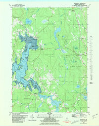
Editions of this 1981 Penobscot Map
2 editions found
Other maps of this area

1900 · Orland
USGS Topo · 1:62,500

1900 · Bucksport
USGS Topo · 1:62,500

1902 · Bucksport
USGS Topo · 1:62,500

1902 · Castine
USGS Topo · 1:62,500

1904 · Castine
USGS Topo · 1:62,500

1904 · Bluehill
USGS Topo · 1:62,500

1905 · Penobscot Bay
USGS Topo · 1:125,000

1941 · Castine
USGS Topo · 1:62,500

1942 · Orland
USGS Topo · 1:62,500

1942 · Bucksport
USGS Topo · 1:62,500