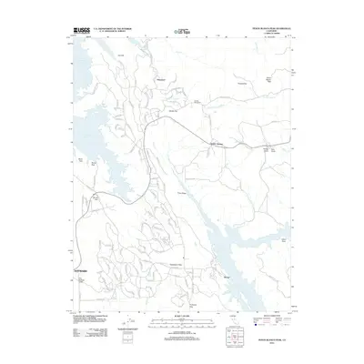
2012 Map of Penon Blanco Peak
USGS Topo · Published 2012About this map
Peñon Blanco Peak rises as the central landmark of this California landscape, situated between two major water features: Don Pedro Reservoir to the northwest and Lake McClure to the southeast. The area around Granite Springs and the Granite Spring Cem reflects a pattern of rural settlement and small flats, including Whisky Flat, Bonds Flat, and Kassabaum Flats. These geographic designations often denote the few level areas suitable for habitation amidst the surrounding ridges and gulches.
Find a feature on this map
118 named features on this map. Tap any name to fly to it.
Don’t see what you’re looking for? This feature index may not catch every label — zoom into the map to look around manually.
Map Details
Editions of this 2012 Penon Blanco Peak Map
This is the sole edition of this map. No revisions or reprints were ever made.
Other maps of this area

1893 · Sonora
USGS Topo · 1:125,000

1896 · Sonora
USGS Topo · 1:125,000

1897 · Sonora
USGS Topo · 1:125,000

1898 · Sonora
USGS Topo · 1:125,000

1915 · La Grange
USGS Topo · 1:24,000

1916 · Merced Falls
USGS Topo · 1:24,000
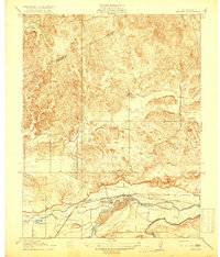
1918 · Snelling
USGS Topo · 1:31,680

1919 · La Grange
USGS Topo · 1:31,680

1919 · Merced Falls
USGS Topo · 1:31,680

1944 · Merced Falls
USGS Topo · 1:62,500