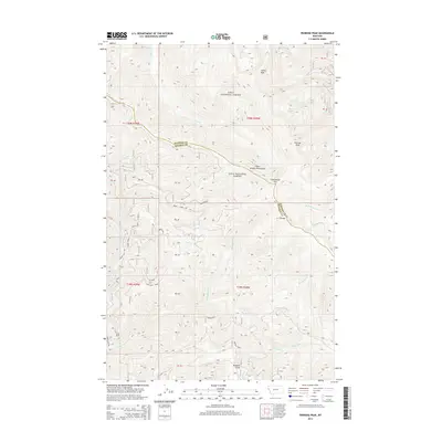
2014 Map of Penrose Peak
USGS Topo · Published 2014About this map
Lolo National Forest dominates this mountain landscape along the border of Sanders and Mineral Counties. The terrain is defined by the high elevations of the Coeur d'Alene Mountains, specifically the C C Divide which separates the local watersheds. Penrose Peak and Cherry Peak serve as prominent anchors in the northern half of the survey, with Acorn Lake providing a rare water basin among the high ridges. The map captures a largely roadless interior, where drainage systems like Cherry Cr, Breen Cr, and Blackburn Cr carve out deep valleys. Small infrastructure such as Twelve Mile Rd and the crossing at Greenwood Hill provide limited access through the dense forest, reflecting the land's primary use for timber and conservation rather than settlement. Topographic details illustrate the complex network of ridges, including Flat Rock Ridge and the descent into Buzzard Gulch.
Find a feature on this map
28 named features on this map. Tap any name to fly to it.
Don’t see what you’re looking for? This feature index may not catch every label — zoom into the map to look around manually.
Map Details
Editions of this 2014 Penrose Peak Map
This is the sole edition of this map. No revisions or reprints were ever made.
Other maps of this area

1918 · St Regis
USGS Topo · 1:125,000

1919 · St. Regis
USGS Topo · 1:125,000

1937 · Thompson Falls
USGS Topo · 1:125,000

1937 · Thompson Falls
USGS Topo · 1:62,500

1956 · St Regis
USGS Topo · 1:62,500

1956 · Wallace
USGS Topo · 1:250,000

1957 · Thompson Falls
USGS Topo · 1:62,500

1957 · Haugan
USGS Topo · 1:62,500

1960 · Wallace
USGS Topo · 1:250,000

1964 · Eddy Mountain
USGS Topo · 1:24,000