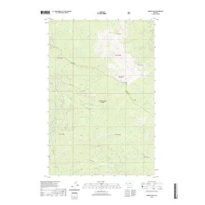
2020 Map of Penrose Peak
USGS Topo · Published 2020About this map
Lolo National Forest encompasses the entirety of this high-elevation landscape, where the Coeur d'Alene Mountains form a significant physical barrier. The administrative boundary between Sanders County and Mineral County follows the prominent C C Divide, a ridge system that dictates the drainage patterns for numerous mountain streams. Significant summits include Penrose Peak and Cherry Peak, the latter feeding Cherry Creek and its eastern fork. Small alpine features like Acorn Lake sit tucked below the ridges, providing water sources alongside Breen Spr.
Find a feature on this map
30 named features on this map. Tap any name to fly to it.
Don’t see what you’re looking for? This feature index may not catch every label — zoom into the map to look around manually.
Map Details
Editions of this 2020 Penrose Peak Map
This is the sole edition of this map. No revisions or reprints were ever made.
Other maps of this area

1918 · St Regis
USGS Topo · 1:125,000

1919 · St. Regis
USGS Topo · 1:125,000

1937 · Thompson Falls
USGS Topo · 1:125,000

1937 · Thompson Falls
USGS Topo · 1:62,500

1956 · St Regis
USGS Topo · 1:62,500

1956 · Wallace
USGS Topo · 1:250,000

1957 · Thompson Falls
USGS Topo · 1:62,500

1957 · Haugan
USGS Topo · 1:62,500

1960 · Wallace
USGS Topo · 1:250,000

1964 · Eddy Mountain
USGS Topo · 1:24,000