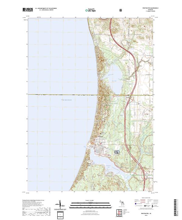
2023 Map of Pentwater
USGS Topo · Published 2023About this map
The village of Pentwater sits at the vital junction where Pentwater Lake meets the eastern shore of Lake Michigan. This 2023 survey illustrates a landscape defined by its waterways, from the protected waters of Big Bayou and Little Bayou to the winding course of the Pentwater River and its North Branch. The village's street grid, including E Lowell St and Sands St, is bounded to the north by the Pentwater Township Cem, providing a clear view of the settlement's modern footprint against the backdrop of the Manistee National Forest. To the north, Bass Lake and the drainage of Kibby Creek characterize the coastal terrain as it approaches the Mason and Oceana County line. The map captures a transition from the dense residential blocks of the village and French Town to the wooded tracts and small creek valleys like Watson Creek that extend into the interior.
Find a feature on this map
45 named features on this map. Tap any name to fly to it.
Don’t see what you’re looking for? This feature index may not catch every label — zoom into the map to look around manually.
Map Details
Editions of this 2023 Pentwater Map
This is the sole edition of this map. No revisions or reprints were ever made.
Other maps of this area

1931 · Hart NW
USGS Topo · 1:31,680

1931 · Hart NE
USGS Topo · 1:31,680

1932 · Ludington NE
USGS Topo · 1:31,680

1932 · Ludington SW
USGS Topo · 1:31,680

1932 · Ludington SE
USGS Topo · 1:31,680

1932 · Ludington
USGS Topo · 1:31,680

1954 · Milwaukee
USGS Topo · 1:250,000

1958 · Milwaukee
USGS Topo · 1:250,000

1959 · Ludington
USGS Topo · 1:62,500

1959 · Hart
USGS Topo · 1:62,500