2023 Map of Peoria
USGS Topo · Published 2023About this map
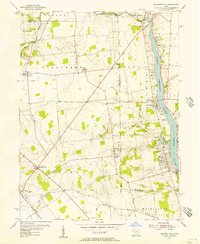
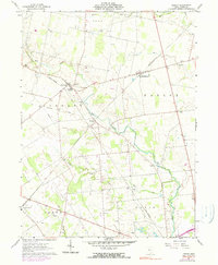
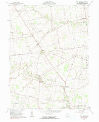
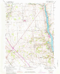
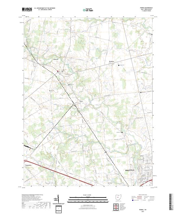
Mill Creek and its many tributaries, including Otter Run and Bear Swamp Run, define the drainage patterns of this Union County landscape. The 2023 survey illustrates a transition from the dense residential developments of northwest Marysville to the rural hamlets of Peoria and Raymond. This transition is marked by a network of traditional farm-to-market roads, such as Rapp Dean Rd and Peoria Loop Rd, which connect long-standing rural community centers. Family and local history are anchored by numerous small burial grounds, including Clark Cem, Baughn Cem, and Hamilton Cem, scattered across the agricultural tracts. To the west, the settlement of Pottersburg sits near Buck Run, while the northeastern corner is occupied by Broadway, showing the persistent footprint of these smaller crossroads communities even as larger municipal centers expand nearby.
Find a feature on this map
76 named features on this map. Tap any name to fly to it.
Don’t see what you’re looking for? This feature index may not catch every label — zoom into the map to look around manually.
Map Details
Editions of this 2023 Peoria Map
This is the sole edition of this map. No revisions or reprints were ever made.
Historical Maps of Allen Township Through Time
7 maps found