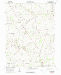
1961 Map of York Center
USGS Topo · Published 1991About this map
The Greenville Treaty Line cuts a historic diagonal through this portion of Union County, reflecting the early surveying legacy of the Virginia Military District. Small rural communities like Byhalia and York Center anchor a landscape defined by its agricultural and drainage patterns, where narrow waterways such as Rush Creek and Bokes Creek meander toward the Scioto River watershed.
Find a feature on this map
30 named features on this map. Tap any name to fly to it.
Don’t see what you’re looking for? This feature index may not catch every label — zoom into the map to look around manually.
Map Details
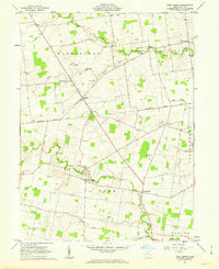
Editions of this 1961 York Center Map
2 editions found
Other maps of this area

1913 · East Liberty
USGS Topo · 1:62,500

1913 · Richwood
USGS Topo · 1:62,500

1915 · Richwood
USGS Topo · 1:62,500

1915 · East Liberty
USGS Topo · 1:62,500

1915 · Kenton
USGS Topo · 1:62,500

1915 · La Rue
USGS Topo · 1:62,500

1944 · East Liberty
USGS Topo · 1:62,500

1944 · Kenton
USGS Topo · 1:62,500

1944 · Richwood
USGS Topo · 1:62,500

1950 · Marion
USGS Topo · 1:250,000