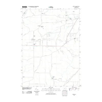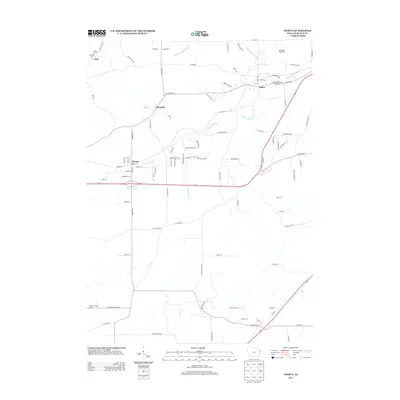
2022 Map of Peosta
USGS Topo · Published 2022About this map
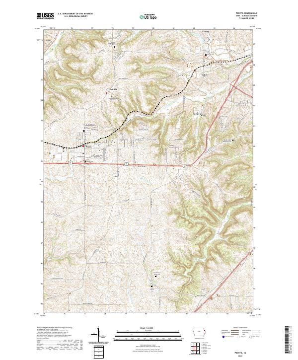
Peosta, Iowa, and its surrounding Dubuque County landscape appear here as a hub of education and spiritual heritage west of the Mississippi River. The town is anchored by the Northeast Iowa Community College Peosta Campus, while the rural surroundings are defined by a dense network of burial grounds and religious sites, such as the New Melleray Abbey Cem and the Saint John the Baptist Cem. The terrain is deeply carved by the drainage systems of Middle Fork Catfish Cr and Whitewater Cr, which dictated the early placement of roads and small settlements like Centralia and Graf. Modern infrastructure, including Old US Hwy 20 and the Heritage Trl, follows these natural corridors, connecting the high ridges to the larger city of Dubuque just to the east.
Find a feature on this map
92 named features on this map. Tap any name to fly to it.
Don’t see what you’re looking for? This feature index may not catch every label — zoom into the map to look around manually.
Map Details
Editions of this 2022 Peosta Map
This is the sole edition of this map. No revisions or reprints were ever made.
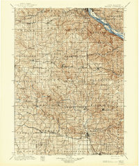
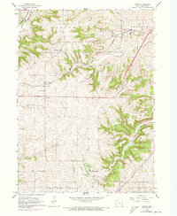
Historical Maps of Dubuque Through Time
7 maps found