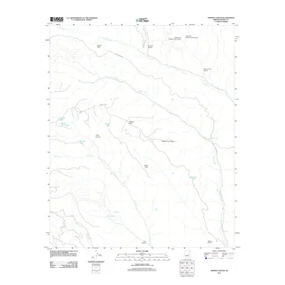
2011 Map of Pepper Canyon
USGS Topo · Published 2011About this map
Carrizo Creek and Cibecue Creek dominate the high desert drainage of this corner of Navajo County, reflecting a landscape defined by significant elevation changes and seasonal water sources. The map highlights a series of small, scattered watering holes and natural basins including Donkey Lake, Louse Lake, and Wagon Wheel Lake, which are essential features in this arid environment. Navigation across the high ground is marked by Carrizo Ridge Rd and the Buckskin Trl, which follow the natural contours of prominent landmarks like Carrizo Ridge and Whitetail Ridge. Named springs such as White Spring, Twin Springs, and Rock Point Spring provide critical reference points for local history and land use. The presence of Indian Rte 34 along the eastern edge suggests the primary modern corridor through this network of canyons, including Pryce Canyon and Pepper Canyon, which feed into the larger creek systems.
Find a feature on this map
30 named features on this map. Tap any name to fly to it.
Don’t see what you’re looking for? This feature index may not catch every label — zoom into the map to look around manually.
Map Details
Editions of this 2011 Pepper Canyon Map
This is the sole edition of this map. No revisions or reprints were ever made.
Other maps of this area

1886 · Holbrook
USGS Topo · 1:250,000

1893 · Holbrook
USGS Topo · 1:250,000

1954 · Holbrook
USGS Topo · 1:250,000

1957 · Holbrook
USGS Topo · 1:250,000

1958 · Holbrook
USGS Topo · 1:250,000

1960 · Holbrook
USGS Topo · 1:250,000

1961 · Clay Springs
USGS Topo · 1:62,500

1961 · Heber
USGS Topo · 1:62,500

1961 · Cibecue
USGS Topo · 1:62,500

1961 · Chediski Peak
USGS Topo · 1:62,500