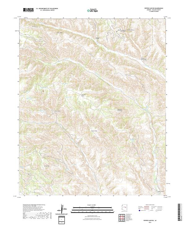
2021 Map of Pepper Canyon
USGS Topo · Published 2021About this map
Cibecue Cr and Carrizo Cr drain a landscape of complex ridges and deep incisions in this northern Arizona survey. The terrain is defined by the high elevations of Carrizo Ridge and Whitetail Ridge, which separate various drainage systems including Pryce Canyon and Buckskin Canyon. A cluster of small upland water bodies, including Pryce Lake, Louse Lake, and Wagon Wheel Lake, dot the western portion of the quadrangle. Significant for local geography, the map details numerous water sources such as Twin Springs, Rock Point Spring, and White Spring. These springs and seasonal lakes suggest a landscape where water management and natural catchments are central to movement through the territory, connected by high-altitude routes like Carrizo Ridge Rd and the Indian Rte 34.
Find a feature on this map
34 named features on this map. Tap any name to fly to it.
Don’t see what you’re looking for? This feature index may not catch every label — zoom into the map to look around manually.
Map Details
Editions of this 2021 Pepper Canyon Map
This is the sole edition of this map. No revisions or reprints were ever made.
Other maps of this area

1886 · Holbrook
USGS Topo · 1:250,000

1893 · Holbrook
USGS Topo · 1:250,000

1954 · Holbrook
USGS Topo · 1:250,000

1957 · Holbrook
USGS Topo · 1:250,000

1958 · Holbrook
USGS Topo · 1:250,000

1960 · Holbrook
USGS Topo · 1:250,000

1961 · Clay Springs
USGS Topo · 1:62,500

1961 · Heber
USGS Topo · 1:62,500

1961 · Cibecue
USGS Topo · 1:62,500

1961 · Chediski Peak
USGS Topo · 1:62,500