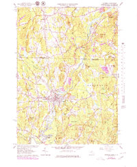
1965 Map of Pepperell
USGS Topo · Published 1979About this map
The Nashua River meanders south through this landscape, defining the character of the borderlands between New Hampshire and Massachusetts. The 1965 aerial survey, updated in the late 1970s, captures a transition in the valley, where the Boston and Maine Railroad still follows the riverbanks past industrial clusters like East Pepperell. Inland, the terrain is shaped by numerous glacial features, from the low-lying Reedy Meadow and Hauk Swamp to prominent rises like Proctor Hill and Drake Hill. Local genealogy is well-represented through family-named locations such as Hovey Corner and several established cemeteries including St Louis de Gonzagues Cem and Woodlawn Cem. Traces of older transit persist in the old railroad grade near North Pepperell, marking the shifting priorities of the region's transport network.
Find a feature on this map
85 named features on this map. Tap any name to fly to it.
Don’t see what you’re looking for? This feature index may not catch every label — zoom into the map to look around manually.
Map Details
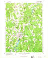
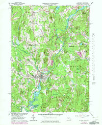
Editions of this 1965 Pepperell Map
3 editions found
Other maps of this area

1886 · Lowell
USGS Topo · 1:62,500

1893 · Lowell
USGS Topo · 1:62,500

1893 · Groton
USGS Topo · 1:62,500

1905 · Manchester
USGS Topo · 1:62,500

1906 · Milford
USGS Topo · 1:62,500

1918 · Lowell
USGS Topo · 1:62,500

1921 · Lowell
USGS Topo · 1:62,500

1931 · Lowell
USGS Topo · 1:48,000

1931 · Groton
USGS Topo · 1:48,000

1935 · Ayer
USGS Topo · 1:24,000