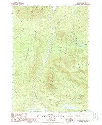
1988 Map of Percy Peaks
USGS Topo · Published 1988About this map
Nash Stream defines the central spine of this northern forest landscape, cutting a deep path through the township boundaries of Stratford, Odell, Stark, and Northumberland. The area is characterized by dramatic elevation changes, anchored by the iconic Percy Peaks and the steep faces of Jimmy Cole Ledge and Petters Ledge. This 1980s data shows a region dominated by timber and water resources, where numerous small bodies of water like Sugarloaf Pond and Whitcomb Pond feed into complex brook systems. The presence of Gravel Pit sites near the U Ammonoosuc R suggests local industrial activity focused on road maintenance or resource extraction. To the south, Christine Lake serves as a significant landmark at the edge of the wilderness, while the upper reaches of the map remain largely defined by the drainage basins of Nash Bog Pond and the surrounding peaks.
Find a feature on this map
36 named features on this map. Tap any name to fly to it.
Don’t see what you’re looking for? This feature index may not catch every label — zoom into the map to look around manually.
Map Details
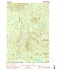
Editions of this 1988 Percy Peaks Map
2 editions found
Other maps of this area

1920 · Guildhall
USGS Topo · 1:62,500

1929 · Averill
USGS Topo · 1:62,500

1930 · Percy
USGS Topo · 1:62,500

1930 · Dixville
USGS Topo · 1:62,500

1931 · Guildhall
USGS Topo · 1:48,000

1933 · Guildhall
USGS Topo · 1:48,000

1933 · Dixville
USGS Topo · 1:62,500

1934 · Percy
USGS Topo · 1:62,500

1934 · Dixville
USGS Topo · 1:62,500

1937 · Guildhall
USGS Topo · 1:62,500