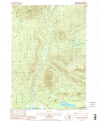
1988 Map of Percy Peaks
USGS Topo · Published 1988About this map
Stratford Mountain and Long Mountain dominate this corner of the White Mountains region in the late 1980s. The landscape is defined by its drainage basins, with Nash Stream cutting a central north-south path through the township boundaries of Stratford and Stark. In the southern portion of the quadrangle, the Upper Ammonoosuc River serves as a primary geographic anchor near the community of Percy.
Find a feature on this map
36 named features on this map. Tap any name to fly to it.
Don’t see what you’re looking for? This feature index may not catch every label — zoom into the map to look around manually.
Map Details
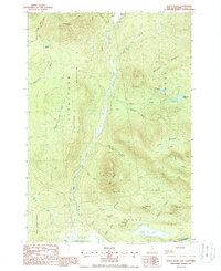
Editions of this 1988 Percy Peaks Map
2 editions found
Other maps of this area

1920 · Guildhall
USGS Topo · 1:62,500

1929 · Averill
USGS Topo · 1:62,500

1930 · Percy
USGS Topo · 1:62,500

1930 · Dixville
USGS Topo · 1:62,500

1931 · Guildhall
USGS Topo · 1:48,000

1933 · Guildhall
USGS Topo · 1:48,000

1933 · Dixville
USGS Topo · 1:62,500

1934 · Percy
USGS Topo · 1:62,500

1934 · Dixville
USGS Topo · 1:62,500

1937 · Guildhall
USGS Topo · 1:62,500