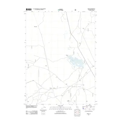
2012 Map of Perez
USGS Topo · Published 2012About this map
The Battle of Dry Lake 1873 site serves as a central historical landmark in this high-altitude Modoc County landscape, marking a critical event of the Modoc War. Situated between the volcanic heights of Timber Mountain and Ainshea Butte, the region is characterized by its proximity to the Lava Beds National Monument. The settlement of Tionesta anchor the southern portion of the map, while Perez and Dalton Ranch sit along the eastern corridor. The infrastructure is defined by a dense network of forest and monument roads, including Lava Beds National Monument Rd and Tionesta Rd, which connect these small outposts through a terrain of seasonal water features like Dry Lake and Negro Ben Spring. The map documents the enduring legacy of the frontier and the specialized geography of the northern California plateau.
Find a feature on this map
37 named features on this map. Tap any name to fly to it.
Don’t see what you’re looking for? This feature index may not catch every label — zoom into the map to look around manually.
Map Details
Editions of this 2012 Perez Map
This is the sole edition of this map. No revisions or reprints were ever made.
Other maps of this area

1886 · Modoc Lava Bed
USGS Topo · 1:250,000

1892 · Modoc Lava-Bed
USGS Topo · 1:250,000

1951 · Clear Lake Reservoir
USGS Topo · 1:62,500

1951 · Tulelake
USGS Topo · 1:62,500

1952 · Timber Mountain
USGS Topo · 1:62,500

1952 · Hackamore
USGS Topo · 1:62,500

1954 · Alturas
USGS Topo · 1:250,000

1958 · Alturas
USGS Topo · 1:250,000

1962 · Alturas
USGS Topo · 1:250,000

1965 · Alturas
USGS Topo · 1:250,000