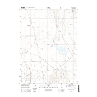
2015 Map of Perez
USGS Topo · Published 2015About this map
Tionesta and Perez anchor the southern and eastern corridors of this high-desert landscape within the Modoc National Forest. The map reflects a region defined by historical frontier conflict and industrial infrastructure, notably marked by a Battle Site and Monument situated between volcanic features. High points like Timber Mtn and Harvey Jones Butte overlook a series of flats and depressions, including Bob Young Flat and the ephemeral Dry Lake. The transport network of the mid-2010s is a mix of forest routes and historic pathways, featuring the Tionesta Spur and the curious remains of Camp Forty Two. Notable water sources such as Negro Ben Spring and Clear Lake highlight the critical role of water in this arid Modoc County terrain.
Find a feature on this map
27 named features on this map. Tap any name to fly to it.
Don’t see what you’re looking for? This feature index may not catch every label — zoom into the map to look around manually.
Map Details
Editions of this 2015 Perez Map
This is the sole edition of this map. No revisions or reprints were ever made.
Other maps of this area

1886 · Modoc Lava Bed
USGS Topo · 1:250,000

1892 · Modoc Lava-Bed
USGS Topo · 1:250,000

1951 · Clear Lake Reservoir
USGS Topo · 1:62,500

1951 · Tulelake
USGS Topo · 1:62,500

1952 · Timber Mountain
USGS Topo · 1:62,500

1952 · Hackamore
USGS Topo · 1:62,500

1954 · Alturas
USGS Topo · 1:250,000

1958 · Alturas
USGS Topo · 1:250,000

1962 · Alturas
USGS Topo · 1:250,000

1965 · Alturas
USGS Topo · 1:250,000