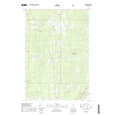
2019 Map of Perkins
USGS Topo · Published 2019About this map
Brampton and its neighboring settlements in Delta County are defined by their position along the river corridors and historical road networks of the Upper Peninsula. Small communities like Perkins, Beaver, and Winde sit amidst a landscape where the Tacoosh River and Days River converge, winding through the western edge of the Hiawatha National Forest. This modern survey illustrates the enduring rural structure of the region, anchored by landmarks such as the Perkins Cem and the Silver Creek drainage.
Find a feature on this map
50 named features on this map. Tap any name to fly to it.
Don’t see what you’re looking for? This feature index may not catch every label — zoom into the map to look around manually.
Map Details
Editions of this 2019 Perkins Map
This is the sole edition of this map. No revisions or reprints were ever made.
Other maps of this area

1932 · Gladstone NE
USGS Topo · 1:31,680

1932 · Rock SW
USGS Topo · 1:31,680

1932 · Trenary SW
USGS Topo · 1:31,680

1932 · Gladstone SE
USGS Topo · 1:31,680

1932 · Rapid River NW
USGS Topo · 1:31,680

1932 · Rock SE
USGS Topo · 1:31,680

1932 · Rapid River SW
USGS Topo · 1:31,680

1932 · Gladstone SW
USGS Topo · 1:31,680

1932 · Gladstone NW
USGS Topo · 1:31,680

1950 · Gladstone NW
USGS Topo · 1:31,680