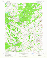
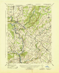
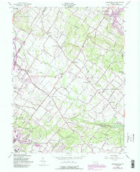
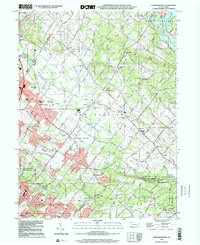
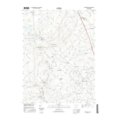
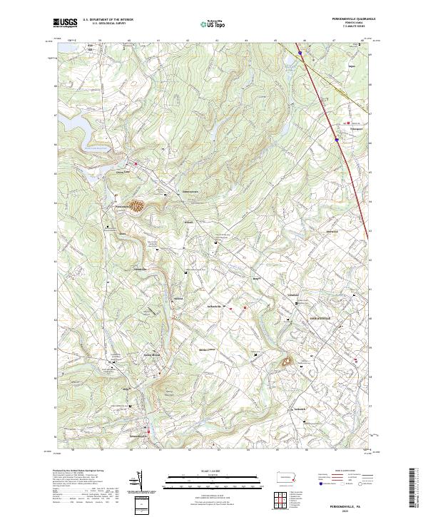
1960 Map of Perkiomenville
USGS Topo · Published 1963About this map
The Green Lane Reservoir and the winding course of Perkiomen Creek dominate this central Montgomery County landscape. In the early 1960s, this region maintained its rural character with numerous small crossroads settlements like Sumneytown, Perkiomenville, and Lederach linked by a network of hills and wooded valleys. The presence of historic congregational sites such as Old Goshenhoppen Ch and Friedens Union Ch, along with the Eastern Bible Institute, reflects a deep religious and educational heritage. Large recreational tracts including the Hart Boy Scout Camp and Delmont Boy Scout Camp suggest the area's role as a retreat for nearby urban centers. The Reading railroad line and the Northeast Extension Pennsylvania Turnpike cut through the terrain, highlighting the transition from traditional rail transport to modern interstate highways during this era.
Find a feature on this map
81 named features on this map. Tap any name to fly to it.
Don’t see what you’re looking for? This feature index may not catch every label — zoom into the map to look around manually.
Map Details
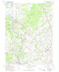
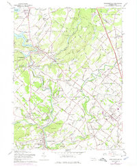
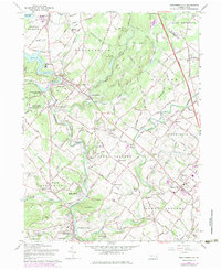
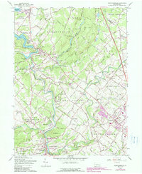
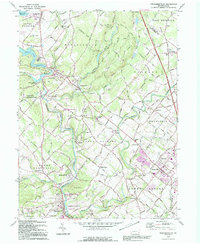
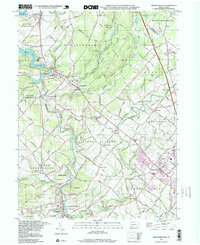
Editions of this 1960 Perkiomenville Map
5 editions found
Historical Maps of Limerick Township Through Time
22 maps found

1893 Germantown
Montgomery County, PA

1894 Germantown
Montgomery County, PA

1896 Germantown
Montgomery County, PA
1899 Germantown
Montgomery County, PA
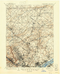
1943 Perkiomenville
Montgomery County, PA
1943 Sassamansville
Montgomery County, PA
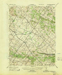
1953 Perkiomenville
Montgomery County, PA
1957 Sassamansville
Montgomery County, PA
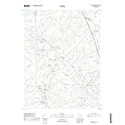
1960 Perkiomenville
Montgomery County, PA
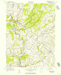
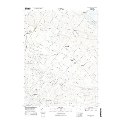
1992 Perkiomenville
Montgomery County, PA
1997 Perkiomenville
Montgomery County, PA
1999 Sassamansville
Montgomery County, PA
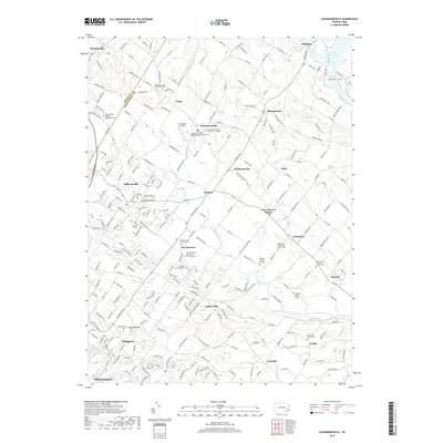
2010 Perkiomenville
Montgomery County, PA

2010 Sassamansville
Montgomery County, PA
2013 Perkiomenville
Montgomery County, PA
2013 Sassamansville
Montgomery County, PA
2016 Perkiomenville
Montgomery County, PA
2016 Sassamansville
Montgomery County, PA
2019 Perkiomenville
Montgomery County, PA
2019 Sassamansville
Montgomery County, PA
2023 Perkiomenville
Montgomery County, PA
2023 Sassamansville
Montgomery County, PA
Featured Locations
- Franconia Township, PA
- New Hanover Township, PA
- Skippack Township, PA
- Limerick Township, PA
- Harleysville, Lower Salford Township