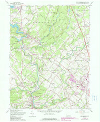
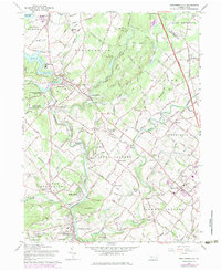
1960 Map of Perkiomenville
USGS Topo · Published 1989About this map
Perkiomen Creek and its many tributaries, including Unami Creek and Swamp Creek, define the agricultural and wooded landscape of this Montgomery County region. By 1960, the area maintained a dense network of historic rural settlements like Perkiomenville, Sumneytown, and Woxall. The presence of numerous old houses of worship, such as Old Goshenhoppen Ch and Friedens Union Ch, alongside several family and community burial grounds like Tabor Cem and Harley Cem, provides significant detail for genealogical research. The Reading railroad serves the upper portion of the map, passing through McLeans Sta, while the newer Pennsylvania Turnpike Northeast Extension cuts through the eastern townships. Significant recreational landmarks are also evident, from Upper Perkiomen Valley County Park to the Delmont Boy Scout Camp, reflecting the area's role in local conservation and youth organizations.
Find a feature on this map
77 named features on this map. Tap any name to fly to it.
Don’t see what you’re looking for? This feature index may not catch every label — zoom into the map to look around manually.
Map Details
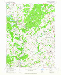
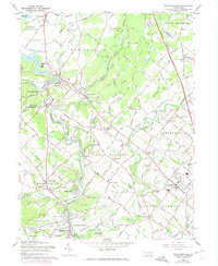
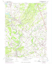
Editions of this 1960 Perkiomenville Map
5 editions found
Other maps of this area

1888 · Quakertown
USGS Topo · 1:62,500

1890 · Quakertown
USGS Topo · 1:62,500

1894 · Quakertown
USGS Topo · 1:62,500

1894 · Norristown
USGS Topo · 1:62,500

1895 · Norristown
USGS Topo · 1:62,500

1896 · Norristown
USGS Topo · 1:62,500

1902 · Boyertown
USGS Topo · 1:62,500

1906 · Phoenixville
USGS Topo · 1:62,500

1942 · Norristown
USGS Topo · 1:125,000
1943 · Quakertown
USGS Topo · 1:31,680
Featured Places
- Limerick Township, PA
- Skippack Township, PA
- Franconia Township, PA
- Harleysville, Lower Salford Township
- New Hanover Township, PA