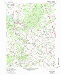
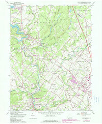
1960 Map of Perkiomenville
USGS Topo · Published 1984About this map
Perkiomen Creek anchors this Montgomery County landscape, winding south past Perkiomenville and through the gap at Spring Mtn. The 1960s and early 70s saw significant development around the Green Lane Reservoir, yet the area retained its deep-rooted identity through numerous country churches like Old Goshenhoppen Ch and Friedens Union Ch. The influence of the Reading railroad is evident at McLeans Sta, while the local topography is defined by the prominent Ridge and the valley of Unami Creek. Educational and community centers, including the Green Lane-Marlborough Sch and several boy scout camps, reflect the mid-century growth of the Marlborough and Upper Salford townships. The map also records the expansion of the Pennsylvania Turnpike Northeast Extension cutting through West Rockhill and Franconia.
Find a feature on this map
78 named features on this map. Tap any name to fly to it.
Don’t see what you’re looking for? This feature index may not catch every label — zoom into the map to look around manually.
Map Details
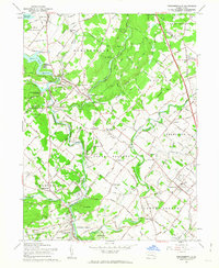
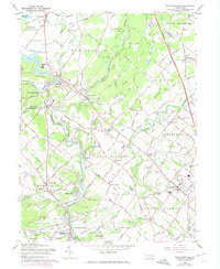
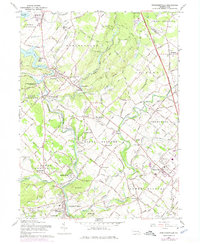
Editions of this 1960 Perkiomenville Map
5 editions found
Other maps of this area

1888 · Quakertown
USGS Topo · 1:62,500

1890 · Quakertown
USGS Topo · 1:62,500

1894 · Quakertown
USGS Topo · 1:62,500

1894 · Norristown
USGS Topo · 1:62,500

1895 · Norristown
USGS Topo · 1:62,500

1896 · Norristown
USGS Topo · 1:62,500

1902 · Boyertown
USGS Topo · 1:62,500

1906 · Phoenixville
USGS Topo · 1:62,500

1942 · Norristown
USGS Topo · 1:125,000
1943 · Quakertown
USGS Topo · 1:31,680
Featured Places
- Limerick Township, PA
- Skippack Township, PA
- Franconia Township, PA
- Harleysville, Lower Salford Township
- New Hanover Township, PA