
1968 Map of Perote
USGS Topo · Published 1970About this map
The ridge line between the Pea River and the tributaries of the Bogue Chitta Creek defines the landscape of southeastern Bullock County in the late 1960s. This survey documents a rural network of small, traditional settlements including Blues Old Stand, Perote, and the curiously named Smuteye. The map's detail is particularly valuable for genealogical research, identifying numerous country churches such as Old Union Grove Ch, Mt Zion Ch, and Mt Hilliard Ch, which often served as the primary social hubs for these dispersed farming communities.
Find a feature on this map
31 named features on this map. Tap any name to fly to it.
Don’t see what you’re looking for? This feature index may not catch every label — zoom into the map to look around manually.
Map Details
Editions of this 1968 Perote Map
This is the sole edition of this map. No revisions or reprints were ever made.
Other maps of this area

1953 · Dothan
USGS Topo · 1:250,000

1954 · Dothan
USGS Topo · 1:250,000

1955 · Dothan
USGS Topo · 1:250,000

1955 · Phenix City
USGS Topo · 1:250,000

1957 · Phenix City
USGS Topo · 1:250,000

1958 · Phenix City
USGS Topo · 1:250,000

1968 · Louisville
USGS Topo · 1:24,000
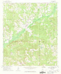
1968 · Saco
USGS Topo · 1:24,000
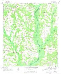
1968 · Josie
USGS Topo · 1:24,000

1968 · Mount Andrew
USGS Topo · 1:24,000