Loading...
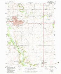
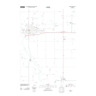
Loading map...1982 Map of Perry
USGS Topo · Published 1983About this map
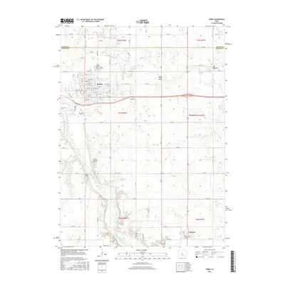
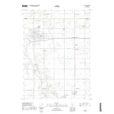
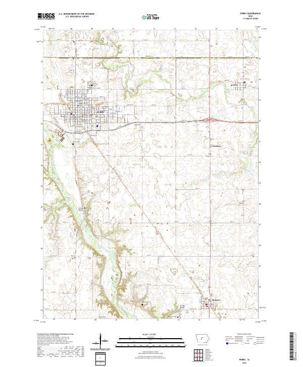
Perry stands as a significant rail and commercial hub in northern Dallas County, centered around the intersection of the Chicago and North Western lines. The street grid, including Willis Ave and Lucinda St, shows a well-established community anchored by civic institutions like the City Hall and Civic Center. Educational infrastructure is notably dense, featuring the High Sch, Jr High Sch, and several elementary schools such as Roosevelt Sch and Webster Sch.
Find a feature on this map
56 named features on this map. Tap any name to fly to it.
Don’t see what you’re looking for? This feature index may not catch every label — zoom into the map to look around manually.
Map Details
Date Portrayed1982
Date Published1983
PublisherU.S. Geological Survey
Map TypeTopographic
Scale1:24,000
Physical Dimensions21.9 x 26.8 inches
Editions of this 1982 Perry Map
This is the sole edition of this map. No revisions or reprints were ever made.
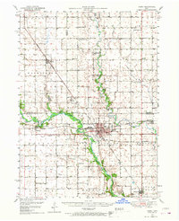
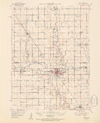
Historical Maps of Perry Through Time
8 maps found
Featured Locations
- Peoples Township, IA
- Gardiner, Beaver Township
- Bouton, Beaver Township
- Minburn, Sugar Grove Township
- Perry, Spring Valley Township
Source Details
SourceU.S. Geological Survey
CopyrightPublic Domain