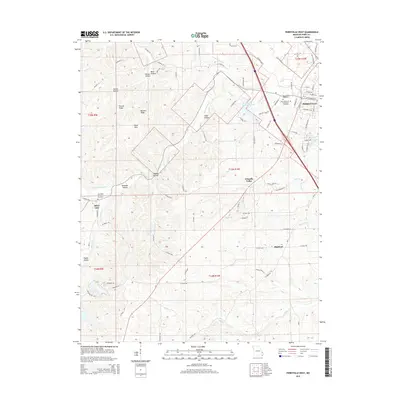
2015 Map of Perryville West
USGS Topo · Published 2015About this map
Perryville anchors the eastern edge of this Missouri landscape, where the town's western growth meets the dissected uplands of Perry County. The terrain is defined by a dense network of ridges and hollows, such as Barbier Ridge and Pecaut Hollow, which drain into several significant watercourses including Apple Creek and South Fork Saline Creek. Local landmarks like Park Spring and the recreational waters of Perry County Community Lake and Legion Lake illustrate the area's geological and social development.
Find a feature on this map
92 named features on this map. Tap any name to fly to it.
Don’t see what you’re looking for? This feature index may not catch every label — zoom into the map to look around manually.
Map Details
Editions of this 2015 Perryville West Map
This is the sole edition of this map. No revisions or reprints were ever made.
Other maps of this area

1907 · Weingarten
USGS Topo · 1:62,500

1909 · Weingarten
USGS Topo · 1:62,500

1910 · Higdon
USGS Topo · 1:62,500

1915 · Chester
USGS Topo · 1:62,500

1923 · Perryville
USGS Topo · 1:62,500

1924 · Perryville
USGS Topo · 1:62,500

1947 · Chester
USGS Topo · 1:62,500

1949 · Paducah
USGS Topo · 1:250,000

1949 · Rolla
USGS Topo · 1:250,000

1950 · Paducah
USGS Topo · 1:250,000