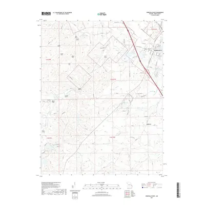
2017 Map of Perryville West
USGS Topo · Published 2017About this map
Perryville anchors the northeastern corner of this landscape, where the town's residential growth meets the rolling hills and creek valleys of rural Perry County. The area is defined by its deep spiritual and community roots, evidenced by large historic sites such as Saint Marys of the Barrens Cem and Mount Hope Cem. To the west and south, the terrain becomes more broken, carved by the S Fork Saline Cr and Apple Cr. Numerous hollows like Mine Hollow and Pecaut Hollow reflect the local topography and naming traditions of early settlers. Water management is a central feature of the modern landscape, with several significant impoundments including Perry County Community Lake, Saint Marys Lake, and the private Lake Kah-Tan-Da. The southern portion of the map near Highland shows a more dispersed settlement pattern typical of the Missouri Ozark borderlands.
Find a feature on this map
143 named features on this map. Tap any name to fly to it.
Don’t see what you’re looking for? This feature index may not catch every label — zoom into the map to look around manually.
Map Details
Editions of this 2017 Perryville West Map
This is the sole edition of this map. No revisions or reprints were ever made.
Other maps of this area

1907 · Weingarten
USGS Topo · 1:62,500

1909 · Weingarten
USGS Topo · 1:62,500

1910 · Higdon
USGS Topo · 1:62,500

1915 · Chester
USGS Topo · 1:62,500

1923 · Perryville
USGS Topo · 1:62,500

1924 · Perryville
USGS Topo · 1:62,500

1947 · Chester
USGS Topo · 1:62,500

1949 · Paducah
USGS Topo · 1:250,000

1949 · Rolla
USGS Topo · 1:250,000

1950 · Paducah
USGS Topo · 1:250,000