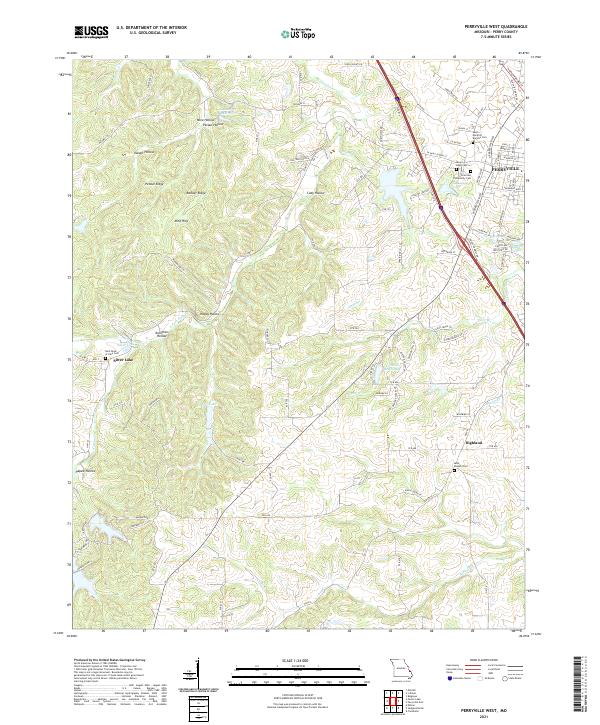
2021 Map of Perryville West
USGS Topo · Published 2021About this map
Perryville anchors the northeastern corner of this Perry County landscape, where the town's expansion meets a countryside defined by deep-set hollows and family-named ridges. The topography is marked by a series of distinct natural features including Mine Hills, Barbier Ridge, and Pecaut Ridge, separated by drainages like Pecaut Hollow and Kuhlman Hollow. This modern survey reveals a dense concentration of religious and community landmarks, particularly on the outskirts of Perryville near Seminary Lake and the Vicentian Community Cem. To the west, the smaller settlement of Silver Lake sits near the headwaters of S Fork Saline Cr, while Highland occupies the southeastern reaches. The map documents a complex hydraulic network of small creeks like Cinque Hommes Cr and Apple Cr alongside several man-made reservoirs such as Colonial Acres Lake and Legion Lake.
Find a feature on this map
106 named features on this map. Tap any name to fly to it.
Don’t see what you’re looking for? This feature index may not catch every label — zoom into the map to look around manually.
Map Details
Editions of this 2021 Perryville West Map
This is the sole edition of this map. No revisions or reprints were ever made.
Other maps of this area

1907 · Weingarten
USGS Topo · 1:62,500

1909 · Weingarten
USGS Topo · 1:62,500

1910 · Higdon
USGS Topo · 1:62,500

1915 · Chester
USGS Topo · 1:62,500

1923 · Perryville
USGS Topo · 1:62,500

1924 · Perryville
USGS Topo · 1:62,500

1947 · Chester
USGS Topo · 1:62,500

1949 · Paducah
USGS Topo · 1:250,000

1949 · Rolla
USGS Topo · 1:250,000

1950 · Paducah
USGS Topo · 1:250,000