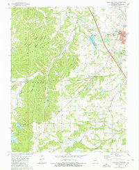
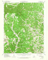
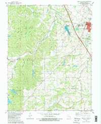
1980 Map of Perryville West
USGS Topo · Published 1980This historical map portrays the area of Perryville West in 1980, primarily covering Perry County. Featuring a scale of 1:24000, this map provides a highly detailed snapshot of the terrain, roads, buildings, counties, and historical landmarks in the Perryville West region at the time. Published in 1980, it is one of 2 known editions of this map due to revisions or reprints.
Find a feature on this map
38 named features on this map. Tap any name to fly to it.
Don’t see what you’re looking for? This feature index may not catch every label — zoom into the map to look around manually.
Map Details
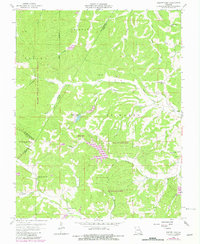
Editions of this 1980 Perryville West Map
2 editions found
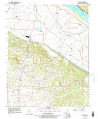
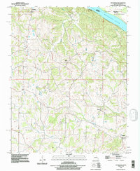
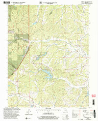
Historical Maps of Perryville Through Time
11 maps found
1910 Higdon
Perry County, MO
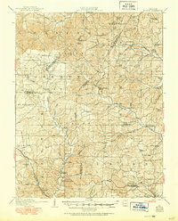
1947 Crosstown
Perry County, MO
1948 Crosstown
Perry County, MO
1959 Higdon
Perry County, MO
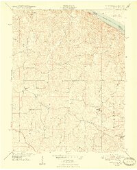
1959 Parker Lake
Perry County, MO
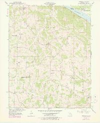
1970 Belgique
Perry County, MO
1980 Perryville East
Perry County, MO
1980 Perryville West
Perry County, MO
1993 Belgique
Perry County, MO
1993 Crosstown
Perry County, MO
2000 Parker Lake
Perry County, MO