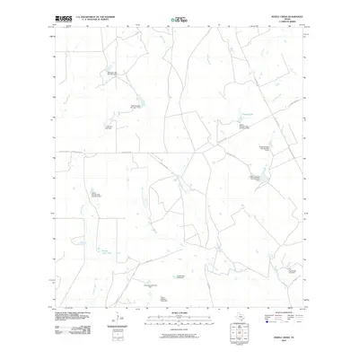
2010 Map of Pertle Creek
USGS Topo · Published 2010About this map
Franklin Ranch defines the ranching character of this McMullen County landscape, where an extensive network of stock tanks and named dams supports livestock in a drainage system defined by Pertle Creek and the Leoncita Creek. The map documents a sophisticated water management system tied to specific family names, including the A R Kuykendall Lake Dam, Grace Graham Lake Dam, and multiple structures belonging to Robert Wheeler. This reliance on dammed tributaries like the North Prong Leoncita Creek and West Prong Leoncita Creek reveals how local landholders adapted to the South Texas environment. Transportation across these holdings is managed via named ranch roads such as High Lonesome and Little Moe's Rd, connecting the scattered water features and working ranch headquarters that form the backbone of the region's economy.
Find a feature on this map
31 named features on this map. Tap any name to fly to it.
Don’t see what you’re looking for? This feature index may not catch every label — zoom into the map to look around manually.
Map Details
Editions of this 2010 Pertle Creek Map
This is the sole edition of this map. No revisions or reprints were ever made.
Other maps of this area

1925 · Tilden No. 1
USGS Topo · 1:48,000

1930 · Tilden
USGS Topo · 1:62,500

1942 · Fowlerton
USGS Topo · 1:62,500

1942 · Tilden
USGS Topo · 1:62,500

1953 · Crystal City
USGS Topo · 1:250,000

1955 · Crystal City
USGS Topo · 1:250,000

1956 · Hindes
USGS Topo · 1:62,500

1956 · Franklin Settlement
USGS Topo · 1:62,500

1956 · Fowlerton
USGS Topo · 1:62,500

1961 · Crystal City
USGS Topo · 1:250,000