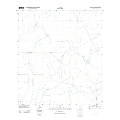
2013 Map of Pertle Creek
USGS Topo · Published 2013About this map
The south-central Texas brush country of McMullen County is defined here by a network of drainage basins and family-owned water improvements. Numerous named tanks and small reservoirs, such as Beckman Lake Number 1 and Kuykendall Lake, indicate a landscape carefully managed for ranching. The complex hydrology is driven by the intermittent flow of Leoncita Cr and its tributaries, including the N Prong Leoncita Cr and W Prong Leoncita Cr, which carve through the terrain alongside Pertle Creek.
Find a feature on this map
32 named features on this map. Tap any name to fly to it.
Don’t see what you’re looking for? This feature index may not catch every label — zoom into the map to look around manually.
Map Details
Editions of this 2013 Pertle Creek Map
This is the sole edition of this map. No revisions or reprints were ever made.
Other maps of this area

1925 · Tilden No. 1
USGS Topo · 1:48,000

1930 · Tilden
USGS Topo · 1:62,500

1942 · Fowlerton
USGS Topo · 1:62,500

1942 · Tilden
USGS Topo · 1:62,500

1953 · Crystal City
USGS Topo · 1:250,000

1955 · Crystal City
USGS Topo · 1:250,000

1956 · Hindes
USGS Topo · 1:62,500

1956 · Franklin Settlement
USGS Topo · 1:62,500

1956 · Fowlerton
USGS Topo · 1:62,500

1961 · Crystal City
USGS Topo · 1:250,000