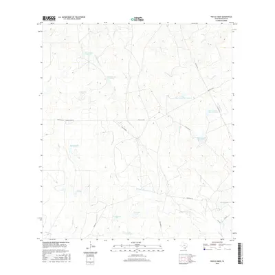
2016 Map of Pertle Creek
USGS Topo · Published 2016About this map
Pertle Creek meanders through this section of McMullen County, defining a landscape dominated by ranching and private water management. Numerous named reservoirs, such as Beckman Lake Number 1 and Beckman Lake Number 2, indicate a concerted effort to capture seasonal runoff in this semi-arid South Texas environment. The map highlights significant family-held lands, including the Franklin Ranch, which is served by Franklin Ranch Rd.
Find a feature on this map
35 named features on this map. Tap any name to fly to it.
Don’t see what you’re looking for? This feature index may not catch every label — zoom into the map to look around manually.
Map Details
Editions of this 2016 Pertle Creek Map
This is the sole edition of this map. No revisions or reprints were ever made.
Other maps of this area

1925 · Tilden No. 1
USGS Topo · 1:48,000

1930 · Tilden
USGS Topo · 1:62,500

1942 · Fowlerton
USGS Topo · 1:62,500

1942 · Tilden
USGS Topo · 1:62,500

1953 · Crystal City
USGS Topo · 1:250,000

1955 · Crystal City
USGS Topo · 1:250,000

1956 · Hindes
USGS Topo · 1:62,500

1956 · Franklin Settlement
USGS Topo · 1:62,500

1956 · Fowlerton
USGS Topo · 1:62,500

1961 · Crystal City
USGS Topo · 1:250,000