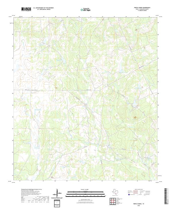
2022 Map of Pertle Creek
USGS Topo · Published 2022About this map
Franklin Ranch serves as a primary landmark in this ranching landscape of McMullen County, where water management is defined by numerous man-made lakes and cattle tanks. The drainage network is anchored by Pertle Cr and several prongs of Leoncita Cr, including the W Prong Leoncita Cr and N Prong Leoncita Cr. The land is marked by generational family holdings, as evidenced by named water bodies such as Kuykendall Lake, L L Graham Lake, and Hughey Lake.
Find a feature on this map
33 named features on this map. Tap any name to fly to it.
Don’t see what you’re looking for? This feature index may not catch every label — zoom into the map to look around manually.
Map Details
Editions of this 2022 Pertle Creek Map
This is the sole edition of this map. No revisions or reprints were ever made.
Other maps of this area

1925 · Tilden No. 1
USGS Topo · 1:48,000

1930 · Tilden
USGS Topo · 1:62,500

1942 · Fowlerton
USGS Topo · 1:62,500

1942 · Tilden
USGS Topo · 1:62,500

1953 · Crystal City
USGS Topo · 1:250,000

1955 · Crystal City
USGS Topo · 1:250,000

1956 · Hindes
USGS Topo · 1:62,500

1956 · Franklin Settlement
USGS Topo · 1:62,500

1956 · Fowlerton
USGS Topo · 1:62,500

1961 · Crystal City
USGS Topo · 1:250,000