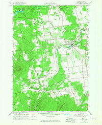
1966 Map of Peru
USGS Topo · Published 1968About this map
St Augustine Ch and the Central Sch anchor the village of Peru, serving as a cultural hub for this portion of Clinton County during the mid-1960s. The landscape transitions from the agricultural flats of the east to the more varied terrain of the west, where the Clinton State Forest and the Adirondack State Park boundary begin. Waterways like the Little Ausable River and Salmon River define the local drainage, while the presence of the Delaware and Hudson railroad and the Adirondack Northway illustrate the area's evolving transportation network. Religious landmarks such as the Mother Cabrini Shrine and St Patricks Ch near Mount Etna provide specific points of interest for genealogists and local historians tracking parish life. Settlement patterns are further revealed through small hamlets like Schuyler Falls and Laphams Mills, alongside numerous gravel pits that hint at local geological industry.
Find a feature on this map
49 named features on this map. Tap any name to fly to it.
Don’t see what you’re looking for? This feature index may not catch every label — zoom into the map to look around manually.
Map Details
Editions of this 1966 Peru Map
2 editions found
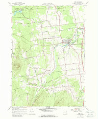
Other maps of this area

1894 · Plattsburg
USGS Topo · 1:62,500

1895 · Willsboro
USGS Topo · 1:62,500

1895 · Ausable
USGS Topo · 1:62,500

1903 · Ausable
USGS Topo · 1:62,500

1906 · Plattsburg
USGS Topo · 1:62,500

1913 · Dannemora
USGS Topo · 1:62,500

1939 · Plattsburg
USGS Topo · 1:62,500

1941 · Plattsburg
USGS Topo · 1:62,500

1941 · Willsboro
USGS Topo · 1:62,500

1943 · Willsboro
USGS Topo · 1:62,500