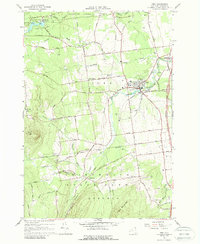
1966 Map of Peru
USGS Topo · Published 1988About this map
The village of Peru sits as a central hub in this mid-century portrait of Clinton County, where the Little Ausable River winds through a landscape of orchards and small crossroads settlements. This period shows the community during its transition into the interstate era, with the Adirondack Northway cutting a modern path near older centers like Laphams Mills and Harkness. The map documents significant religious and educational sites, including the Central Sch, St Patricks Ch, and the Mother Cabrini Shrine on the western edge of the quadrangle.
Find a feature on this map
65 named features on this map. Tap any name to fly to it.
Don’t see what you’re looking for? This feature index may not catch every label — zoom into the map to look around manually.
Map Details
Editions of this 1966 Peru Map
2 editions found
Other maps of this area

1894 · Plattsburg
USGS Topo · 1:62,500

1895 · Willsboro
USGS Topo · 1:62,500

1895 · Ausable
USGS Topo · 1:62,500

1903 · Ausable
USGS Topo · 1:62,500

1906 · Plattsburg
USGS Topo · 1:62,500

1913 · Dannemora
USGS Topo · 1:62,500

1939 · Plattsburg
USGS Topo · 1:62,500

1941 · Plattsburg
USGS Topo · 1:62,500

1941 · Willsboro
USGS Topo · 1:62,500

1943 · Willsboro
USGS Topo · 1:62,500