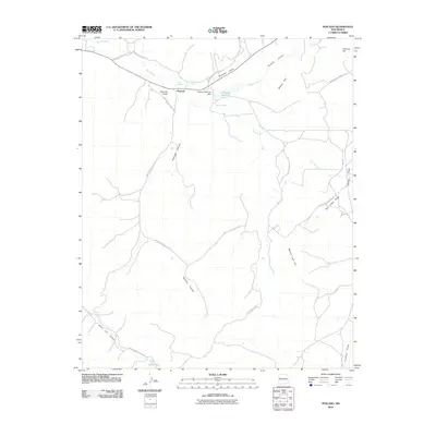
2010 Map of Pescado
USGS Topo · Published 2010About this map
Pescado and Lower Pescado sit at the center of a complex network of transportation routes in this high-desert landscape of western New Mexico. The geography is defined by the Rio Pescado, which flows through the Pescado Draw before entering the Pescado Canyon. Water management is a critical feature of this area, evidenced by the Pescado Reservoir Dam and the nearby Pescado Spring.
Find a feature on this map
28 named features on this map. Tap any name to fly to it.
Don’t see what you’re looking for? This feature index may not catch every label — zoom into the map to look around manually.
Map Details
Editions of this 2010 Pescado Map
This is the sole edition of this map. No revisions or reprints were ever made.
Other maps of this area

1886 · Wingate
USGS Topo · 1:250,000

1892 · Wingate
USGS Topo · 1:250,000

1954 · Saint Johns
USGS Topo · 1:250,000

1954 · Gallup
USGS Topo · 1:250,000

1957 · Saint Johns
USGS Topo · 1:250,000

1958 · Gallup
USGS Topo · 1:250,000

1958 · Saint Johns
USGS Topo · 1:250,000

1959 · Gallup
USGS Topo · 1:250,000

1962 · Gallup
USGS Topo · 1:250,000

1962 · Saint Johns
USGS Topo · 1:250,000