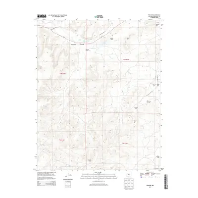
2013 Map of Pescado
USGS Topo · Published 2013About this map
Rio Pescado and its seasonal drainages define the high-desert geography of this portion of the Eastern Navajo Agency. The settlement pattern is anchored by Pescado, with the nearby clusters of Lower Pescado and Upper Pescado situated along the critical water sources of Pescado Spring and Pescado Reservoir. The landscape is carved by deep erosional features like Pescado Canyon and Pescado Draw, while prominent high points such as Beacon Light Hill, Mower Hill, and Antenna Hill provide navigational landmarks across the basin.
Find a feature on this map
64 named features on this map. Tap any name to fly to it.
Don’t see what you’re looking for? This feature index may not catch every label — zoom into the map to look around manually.
Map Details
Editions of this 2013 Pescado Map
This is the sole edition of this map. No revisions or reprints were ever made.
Other maps of this area

1886 · Wingate
USGS Topo · 1:250,000

1892 · Wingate
USGS Topo · 1:250,000

1954 · Saint Johns
USGS Topo · 1:250,000

1954 · Gallup
USGS Topo · 1:250,000

1957 · Saint Johns
USGS Topo · 1:250,000

1958 · Gallup
USGS Topo · 1:250,000

1958 · Saint Johns
USGS Topo · 1:250,000

1959 · Gallup
USGS Topo · 1:250,000

1962 · Gallup
USGS Topo · 1:250,000

1962 · Saint Johns
USGS Topo · 1:250,000