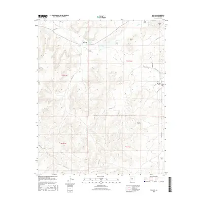
2017 Map of Pescado
USGS Topo · Published 2017About this map
Rio Pescado winds through the canyons and valleys of this high-desert landscape, anchoring a series of small settlements and water features critical to the region. The map details the clusters of Pescado, Lower Pescado, and Upper Pescado, situated where Pescado Draw meets the broader Ramah Valley. The management of water is evident through the presence of Pescado Spring, Pescado Reservoir, and the more southern Jacks Lake. Navigating this terrain are several Bureau of Indian Affairs routes, including Indian Svc Rte 49 and Indian Svc Rte 14, which connect the isolated draws and flats. High points such as Antenna Hill, Mower Hill, and Beacon Light Hill serve as prominent landmarks overlooking the complex network of arroyos like Kay Chee Draw and Crockett Draw.
Find a feature on this map
30 named features on this map. Tap any name to fly to it.
Don’t see what you’re looking for? This feature index may not catch every label — zoom into the map to look around manually.
Map Details
Editions of this 2017 Pescado Map
This is the sole edition of this map. No revisions or reprints were ever made.
Other maps of this area

1886 · Wingate
USGS Topo · 1:250,000

1892 · Wingate
USGS Topo · 1:250,000

1954 · Saint Johns
USGS Topo · 1:250,000

1954 · Gallup
USGS Topo · 1:250,000

1957 · Saint Johns
USGS Topo · 1:250,000

1958 · Gallup
USGS Topo · 1:250,000

1958 · Saint Johns
USGS Topo · 1:250,000

1959 · Gallup
USGS Topo · 1:250,000

1962 · Gallup
USGS Topo · 1:250,000

1962 · Saint Johns
USGS Topo · 1:250,000