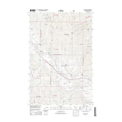
2014 Map of Peshastin
USGS Topo · Published 2014About this map
The Wenatchee River valley carves through the foothills of the Cascades, defining the irrigation and transport corridor between Peshastin and Dryden. In this 2014 landscape, the critical role of water management is visible through the engineering of the Icicle Canal and the Peshastin Cr, which support agricultural activity at sites like C and D Orchards. These settlements are tightly clustered along the river and the path of Us-2, while the surrounding terrain rises sharply into the protected lands of the Wenatchee National Forest.
Find a feature on this map
64 named features on this map. Tap any name to fly to it.
Don’t see what you’re looking for? This feature index may not catch every label — zoom into the map to look around manually.
Map Details
Editions of this 2014 Peshastin Map
This is the sole edition of this map. No revisions or reprints were ever made.
Other maps of this area

1897 · Mount Stuart
USGS Topo · 1:125,000

1901 · Chelan
USGS Topo · 1:125,000

1901 · Chiwaukum
USGS Topo · 1:125,000

1902 · Mount Stuart
USGS Topo · 1:125,000

1904 · Chiwaukum
USGS Topo · 1:125,000

1913 · Wenatchee
USGS Topo · 1:62,500

1915 · Wenatchee
USGS Topo · 1:62,500

1920 · Colockum Pass
USGS Topo · 1:125,000

1922 · Colockum Pass
USGS Topo · 1:125,000

1957 · Wenatchee
USGS Topo · 1:250,000