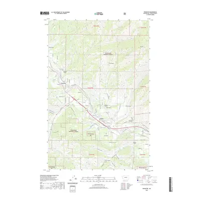
2020 Map of Peshastin
USGS Topo · Published 2020About this map
Peshastin and Dryden sit along the banks of the Wenatchee River in this modern survey of Chelan County. The landscape is defined by the sharp transition between the irrigated valley floor and the surrounding timberlands of the Wenatchee National Forest. This agricultural and water-management system is evident in the path of the Highline Canal and the network of orchard-access roads like Beecher Hill Rd and Stine Hill Rd.
Find a feature on this map
78 named features on this map. Tap any name to fly to it.
Don’t see what you’re looking for? This feature index may not catch every label — zoom into the map to look around manually.
Map Details
Editions of this 2020 Peshastin Map
This is the sole edition of this map. No revisions or reprints were ever made.
Other maps of this area
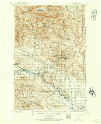
1897 · Mount Stuart
USGS Topo · 1:125,000
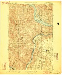
1901 · Chelan
USGS Topo · 1:125,000
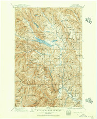
1901 · Chiwaukum
USGS Topo · 1:125,000
1902 · Mount Stuart
USGS Topo · 1:125,000
1904 · Chiwaukum
USGS Topo · 1:125,000
1913 · Wenatchee
USGS Topo · 1:62,500
1915 · Wenatchee
USGS Topo · 1:62,500
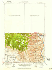
1920 · Colockum Pass
USGS Topo · 1:125,000
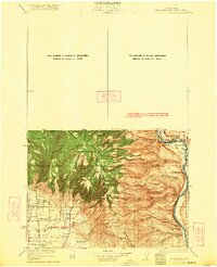
1922 · Colockum Pass
USGS Topo · 1:125,000
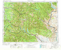
1957 · Wenatchee
USGS Topo · 1:250,000