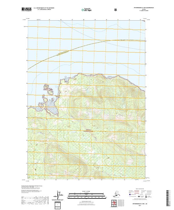
2021 Map of Petersburg B-3 NW
USGS Topo · Published 2021About this map
Saint John Harbor serves as the primary maritime entry point for this portion of Zarembo Island, sheltered by Northerly Island and Southerly Island. The map documents a complex network of forest roads and trails within the Tongass National Forest, illustrating how industry and recreation penetrate the coastal wilderness. Named routes such as Skyline, Muskeg Run, and Eyeopener crisscross the interior, providing access to landmarks like St John Knob and the low-lying Zarembo Flats. The boundary line for the Petersburg Borough Wrangell City and Borough cuts across the northern waters, while the interior is dominated by the hydrology of Zarembo Lake. This 2021 update captures the modern footprint of timber and management roads in a region where the shoreline, from Low Point to the coastal inlets, remains the defining geographic feature.
Find a feature on this map
21 named features on this map. Tap any name to fly to it.
Don’t see what you’re looking for? This feature index may not catch every label — zoom into the map to look around manually.
Map Details
Editions of this 2021 Petersburg B-3 NW Map
This is the sole edition of this map. No revisions or reprints were ever made.
Other maps of this area

1948 · Petersburg C-4
USGS Topo · 1:63,360

1948 · Petersburg C-3
USGS Topo · 1:63,360

1948 · Petersburg B-3
USGS Topo · 1:63,360

1949 · Petersburg B-4
USGS Topo · 1:63,360

1951 · Petersburg B-4
USGS Topo · 1:63,360

1951 · Petersburg B-3
USGS Topo · 1:63,360

1951 · Petersburg C-4
USGS Topo · 1:63,360

1952 · Petersburg
USGS Topo · 1:250,000

1953 · Petersburg C-3
USGS Topo · 1:63,360

1960 · Petersburg
USGS Topo · 1:250,000