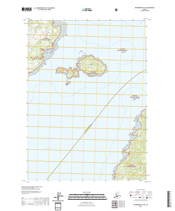
2021 Map of Petersburg B-4 NE
USGS Topo · Published 2021About this map
Sumner Strait dominates this maritime landscape, serving as a critical waterway within the Tongass National Forest along the rugged coast of Alaska. This 2021 survey details the intricate shoreline and scattered islands that define the northern reaches of the Alexander Archipelago. A cluster of features including Big Level Island, Little Level Island, and the broader Level Islands group provide navigational landmarks in the open water. The map also delineates the administrative boundary between the Petersburg Borough and Wrangell City and Borough, cutting diagonally across the strait. Coastal landmarks such as Point Saint John, White Rock, and Vichnefski Rock offer specific points of reference for mariners and researchers studying the nautical geography and territorial divisions of this remote region.
Find a feature on this map
14 named features on this map. Tap any name to fly to it.
Don’t see what you’re looking for? This feature index may not catch every label — zoom into the map to look around manually.
Map Details
Editions of this 2021 Petersburg B-4 NE Map
This is the sole edition of this map. No revisions or reprints were ever made.
Other maps of this area

1948 · Petersburg C-4
USGS Topo · 1:63,360

1948 · Petersburg C-3
USGS Topo · 1:63,360

1948 · Petersburg B-3
USGS Topo · 1:63,360

1949 · Petersburg B-4
USGS Topo · 1:63,360

1951 · Petersburg B-4
USGS Topo · 1:63,360

1951 · Petersburg B-3
USGS Topo · 1:63,360

1951 · Petersburg C-4
USGS Topo · 1:63,360

1952 · Petersburg
USGS Topo · 1:250,000

1953 · Petersburg C-3
USGS Topo · 1:63,360

1960 · Petersburg
USGS Topo · 1:250,000