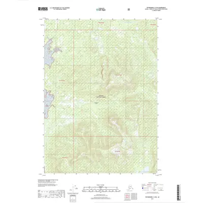
2017 Map of Petersburg C-5 SW
USGS Topo · Published 2017About this map
Kupreanof Island dominates this 2017 survey, showcasing a landscape defined by the intricate hydrology of the Tongass National Forest. The map documents the drainage patterns of the region, where Tunehean Creek and its many tributaries, including Tunehean Cr, flow through heavily contoured terrain toward the coast. Farther south, Lovelace Cr carves through the central portion of the quadrangle, while the southeast corner is anchored by the waters of Kushneahin Lake. This topographical study reveals the undisturbed nature of the Petersburg C-5 SW quadrangle, illustrating the complex elevation changes and dense wetland networks that characterize the Alaskan wilderness within the borough. The absence of roads or permanent settlements highlight the area's role as a pristine natural corridor.
Find a feature on this map
12 named features on this map. Tap any name to fly to it.
Don’t see what you’re looking for? This feature index may not catch every label — zoom into the map to look around manually.
Map Details
Editions of this 2017 Petersburg C-5 SW Map
This is the sole edition of this map. No revisions or reprints were ever made.
Other maps of this area

1948 · Petersburg B-6
USGS Topo · 1:63,360

1948 · Petersburg C-6
USGS Topo · 1:63,360

1948 · Petersburg C-5
USGS Topo · 1:63,360

1949 · Petersburg B-5
USGS Topo · 1:63,360

1951 · Petersburg C-5
USGS Topo · 1:63,360

1951 · Petersburg B-6
USGS Topo · 1:63,360

1952 · Petersburg
USGS Topo · 1:250,000
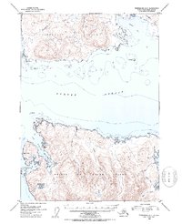
1953 · Petersburg B-5
USGS Topo · 1:63,360

1960 · Petersburg
USGS Topo · 1:250,000
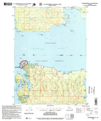
1995 · Petersburg B-5
USGS Topo · 1:63,360