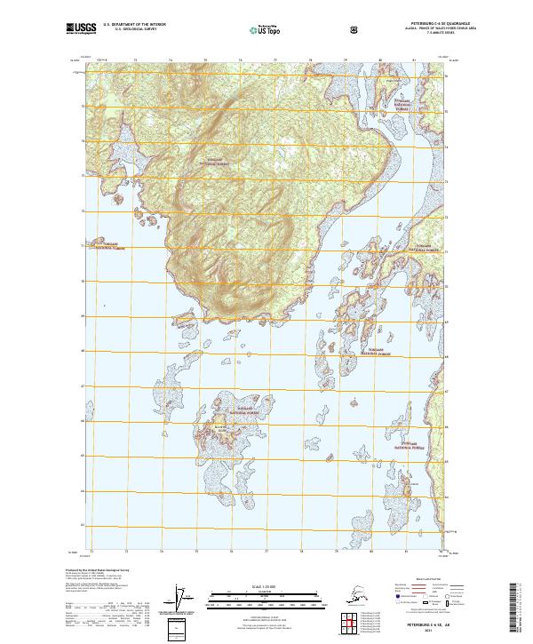
2021 Map of Petersburg C-6 SE
USGS Topo · Published 2021About this map
Tongass National Forest dominates the landscape in this coastal Alaskan reach, where the intricate shoreline of the Alexander Archipelago meets the open water. The map documents a cluster of named landmasses, including the significant terrain of Eagle Island in the northern waters and the smaller Skiff Island situated to the south. Central to the maritime geography of this area is Monte Carlo Island, which sits amidst a scattered group of unnamed islets and rocky outcrops. These features represent a complex interplay of land and sea typical of the region, providing essential navigation points and geographical markers within the vast federal forest reserve. The survey meticulously outlines the elevations and coastal boundaries, offering a precise look at the uninhabited archipelago before further shifts in the maritime environment or forest management occur.
Find a feature on this map
12 named features on this map. Tap any name to fly to it.
Don’t see what you’re looking for? This feature index may not catch every label — zoom into the map to look around manually.
Map Details
Editions of this 2021 Petersburg C-6 SE Map
This is the sole edition of this map. No revisions or reprints were ever made.
Other maps of this area

1948 · Petersburg B-6
USGS Topo · 1:63,360

1948 · Petersburg C-6
USGS Topo · 1:63,360

1948 · Petersburg C-5
USGS Topo · 1:63,360

1949 · Petersburg B-5
USGS Topo · 1:63,360

1951 · Petersburg C-5
USGS Topo · 1:63,360

1951 · Petersburg B-6
USGS Topo · 1:63,360

1952 · Petersburg
USGS Topo · 1:250,000
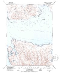
1953 · Petersburg B-5
USGS Topo · 1:63,360

1960 · Petersburg
USGS Topo · 1:250,000
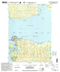
1995 · Petersburg B-5
USGS Topo · 1:63,360