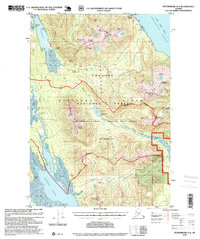
1995 Map of Petersburg D-4
USGS Topo · Published 1999About this map
Kupreanof Island defines this maritime landscape of the mid-1990s, where the Missionary Range and Lindenberg Peninsula are carved by deep waterways like Portage Bay and the wide Duncan Canal. The map reveals a wilderness managed for both conservation and industry, featuring the Petersburg Creek - Duncan Salt Chuck Wilderness alongside active resource sites such as a Log Transfer Facility and a Logging Camp near Flat Point.
Find a feature on this map
53 named features on this map. Tap any name to fly to it.
Don’t see what you’re looking for? This feature index may not catch every label — zoom into the map to look around manually.
Map Details
Editions of this 1995 Petersburg D-4 Map
This is the sole edition of this map. No revisions or reprints were ever made.
Other maps of this area

1948 · Sumdum A-4
USGS Topo · 1:63,360

1948 · Sumdum A-5
USGS Topo · 1:63,360

1948 · Petersburg C-4
USGS Topo · 1:63,360

1948 · Petersburg C-3
USGS Topo · 1:63,360

1948 · Petersburg C-5
USGS Topo · 1:63,360

1948 · Petersburg D-5
USGS Topo · 1:63,360

1951 · Petersburg D-4
USGS Topo · 1:63,360

1951 · Petersburg C-4
USGS Topo · 1:63,360

1951 · Sumdum A-4
USGS Topo · 1:63,360

1951 · Petersburg C-5
USGS Topo · 1:63,360