
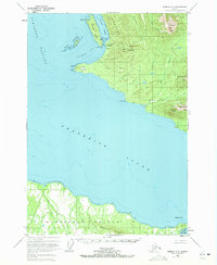
1948 Map of Sumdum A-5
USGS Topo · Published 1957About this map
Cape Fanshaw serves as the focal point of this maritime landscape, where the waters of Stephens Passage and Frederick Sound meet. The 1948 survey records a notable transition in local industry, identifying a Cannery (Aban'd) near Cleveland Passage, a site once central to the region's salmon-driven economy. Coastal activity is indicated by several Cabins and a Light at Canoe Pt, hinting at the seasonal life of fishermen and trappers.
Find a feature on this map
31 named features on this map. Tap any name to fly to it.
Don’t see what you’re looking for? This feature index may not catch every label — zoom into the map to look around manually.
Map Details
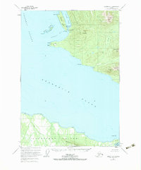
Editions of this 1948 Sumdum A-5 Map
3 editions found
Other maps of this area

1943 · Sumdum B-4
USGS Topo · 1:63,360

1948 · Sumdum A-4
USGS Topo · 1:63,360

1948 · Sumdum A-6
USGS Topo · 1:63,360

1948 · Sumdum B-6
USGS Topo · 1:63,360

1948 · Sumdum B-5
USGS Topo · 1:63,360

1948 · Sumdum B-4
USGS Topo · 1:63,360

1948 · Petersburg D-6
USGS Topo · 1:63,360

1948 · Petersburg D-5
USGS Topo · 1:63,360

1951 · Petersburg D-4
USGS Topo · 1:63,360

1951 · Petersburg D-6
USGS Topo · 1:63,360