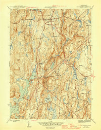
1946 Map of Petersham
USGS Topo · Published 1946About this map
Petersham and the surrounding Worcester County highlands are defined by the transformative expansion of the Quabbin Reservoir during the mid-1940s. This survey, conducted by the Geological Survey and the Army Corps of Engineers, illustrates the dramatic reorganization of the landscape as water levels rose to create a vital metropolitan resource. The shoreline traces the feet of Pottapaug Hill and Whitney Hill, while the Quabbin Aqueduct represents the invisible industrial infrastructure moving water eastward. Inland, the town of Petersham remains a cluster of hilltop life, connected to rural outposts like Nichewaug and Bassets Corner by a network of winding roads including Washburn Road and Amidon Drive. The drainage patterns of Moccasin Brook and the East Branch Swift River highlight the complex watershed that feeds the central reservoir, interspersed with named wetlands like Higgins Swamp and Hemingway Swamp.
Find a feature on this map
47 named features on this map. Tap any name to fly to it.
Don’t see what you’re looking for? This feature index may not catch every label — zoom into the map to look around manually.
Map Details
Editions of this 1946 Petersham Map
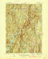
2 editions found
Other maps of this area

1887 · Warwick
USGS Topo · 1:62,500

1887 · Belchertown
USGS Topo · 1:62,500

1887 · Winchendon
USGS Topo · 1:62,500

1887 · Barre
USGS Topo · 1:62,500

1889 · Barre
USGS Topo · 1:62,500

1889 · Warwick
USGS Topo · 1:62,500

1890 · Belchertown
USGS Topo · 1:62,500

1890 · Winchendon
USGS Topo · 1:62,500

1893 · Belchertown
USGS Topo · 1:62,500

1894 · Winchendon
USGS Topo · 1:62,500