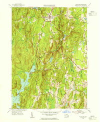
1954 Map of Petersham
USGS Topo · Published 1955About this map
Petersham serves as the focal point for this Worcester County survey, which documents the post-war landscape of central Massachusetts. The geography is defined by a dense network of upland ridges including Camels Hump Hill and Chimney Hill, interspersed with swampy lowlands like Roughan Swamp. In the southwestern corner, the rising waters of the Quabbin Reservoir have reshaped the terrain, bordering Pottapaug Hill. The map provides significant genealogical value, recording several burial grounds such as Doubleday Cem and Ledgeville Cem. Educational and institutional history is marked by the Maria Assumpta Academy north of the village center. A sprawling woodland research area, the Harvard Forest, covers much of the central terrain. The road network, including the winding Glen Valley Road and Old Stage Road, connects older crossroads like Bassets Corner and the settlement of Nichewaug.
Find a feature on this map
61 named features on this map. Tap any name to fly to it.
Don’t see what you’re looking for? This feature index may not catch every label — zoom into the map to look around manually.
Map Details
Editions of this 1954 Petersham Map
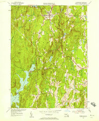
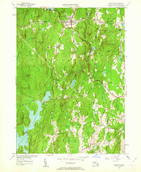
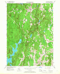
4 editions found
Other maps of this area

1887 · Warwick
USGS Topo · 1:62,500

1887 · Belchertown
USGS Topo · 1:62,500

1887 · Winchendon
USGS Topo · 1:62,500

1887 · Barre
USGS Topo · 1:62,500

1889 · Barre
USGS Topo · 1:62,500

1889 · Warwick
USGS Topo · 1:62,500

1890 · Belchertown
USGS Topo · 1:62,500

1890 · Winchendon
USGS Topo · 1:62,500

1893 · Belchertown
USGS Topo · 1:62,500

1894 · Winchendon
USGS Topo · 1:62,500