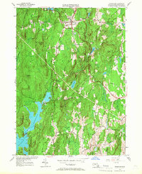
1954 Map of Petersham
USGS Topo · Published 1968About this map
Petersham and its surrounding hill country are defined by the eastern reach of the Quabbin Reservoir, a landscape fundamentally altered by the creation of the reservoir system. The village center remains a focal point of commerce and education, anchored by the Maria Assumpta Academy, while the expansive Harvard Forest dominates the northern terrain. This mid-century survey reveals a transition from traditional upland farming and forestry to a conserved watershed environment, with numerous family and town burying grounds such as West Street Cem, Coolidge Cem, and Thresher Cem remaining as markers of early settlement patterns.
Find a feature on this map
51 named features on this map. Tap any name to fly to it.
Don’t see what you’re looking for? This feature index may not catch every label — zoom into the map to look around manually.
Map Details
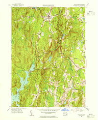
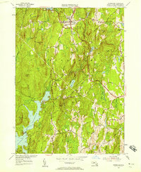
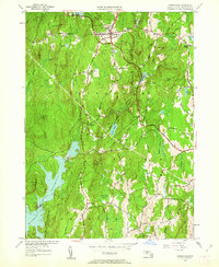
Editions of this 1954 Petersham Map
4 editions found
Other maps of this area

1887 · Warwick
USGS Topo · 1:62,500

1887 · Belchertown
USGS Topo · 1:62,500

1887 · Winchendon
USGS Topo · 1:62,500

1887 · Barre
USGS Topo · 1:62,500

1889 · Barre
USGS Topo · 1:62,500

1889 · Warwick
USGS Topo · 1:62,500

1890 · Belchertown
USGS Topo · 1:62,500

1890 · Winchendon
USGS Topo · 1:62,500

1893 · Belchertown
USGS Topo · 1:62,500

1894 · Winchendon
USGS Topo · 1:62,500