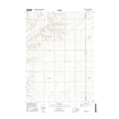
2015 Map of Peterson SW
USGS Topo · Published 2015About this map
The Little Sioux River carves a deep valley across the northwest corner of this quadrangle, creating a pocket of varied terrain in an otherwise orderly agricultural landscape. The boundary between Cherokee and Buena Vista counties runs north to south, bisecting a region defined by a precise grid of rural roads like 480th St and 510th St. This area is notable for its dispersed community landmarks, particularly its burial grounds which serve as vital touchstones for local genealogy. The Spring Township Cem and Spring Cem overlook the river bluffs, while the Immanuel Lutheran Cem and Afton Cem are situated among the fields further south and east. The drainage of Badger Cr and the Maple River further define the local hydrology, supporting the farmsteads that have occupied these townships for generations.
Find a feature on this map
25 named features on this map. Tap any name to fly to it.
Don’t see what you’re looking for? This feature index may not catch every label — zoom into the map to look around manually.
Map Details
Editions of this 2015 Peterson SW Map
This is the sole edition of this map. No revisions or reprints were ever made.
Other maps of this area

1954 · Fort Dodge
USGS Topo · 1:250,000

1957 · Fort Dodge
USGS Topo · 1:250,000

1958 · Fort Dodge
USGS Topo · 1:250,000

1969 · Aurelia
USGS Topo · 1:24,000

1969 · Cherokee South
USGS Topo · 1:24,000

1971 · Peterson SW
USGS Topo · 1:24,000

1971 · Peterson SE
USGS Topo · 1:24,000
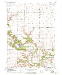
1971 · Peterson
USGS Topo · 1:24,000
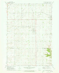
1971 · Sutherland West
USGS Topo · 1:24,000
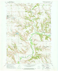
1971 · Sutherland East
USGS Topo · 1:24,000